
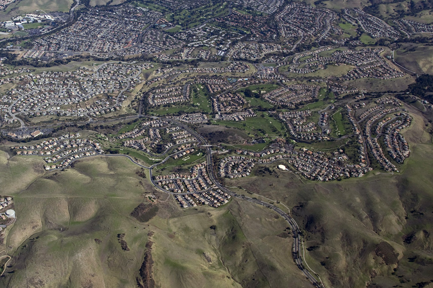

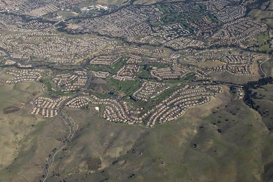
The GHAD District is 1,550 acres comprised of hills and valleys and manmade structures. Aerial view from the west looking east.
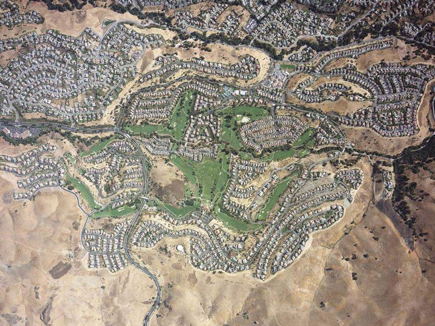
On a yearly basis, the GHAD has aerial photos taken of the entire District in several different formats. This photo is a high resolution color photo that shows the District in August of every year.
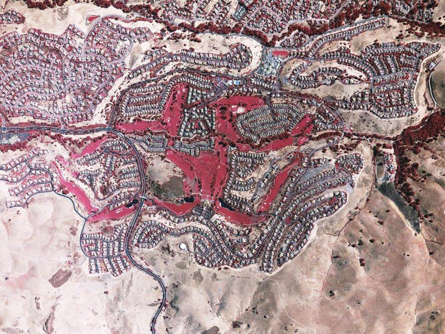
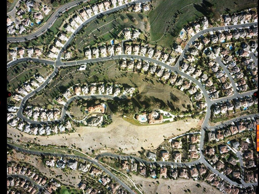
Similarly, this Infrared photo is taken every year in August. The red color indicates moisture content.
Therefore the GHAD considers water control an important strategic part of the District. The GHAD monitors the hillside slopes of Silver Creek to make sure drainage ditches continue to perform as designed and to look for hillside trouble spots.
The District has plenty of sources of water. A water tanks, a golf course, underground piping and natural rain events. When gravity exerts its force on water saturated hillsides, landslides can occur.
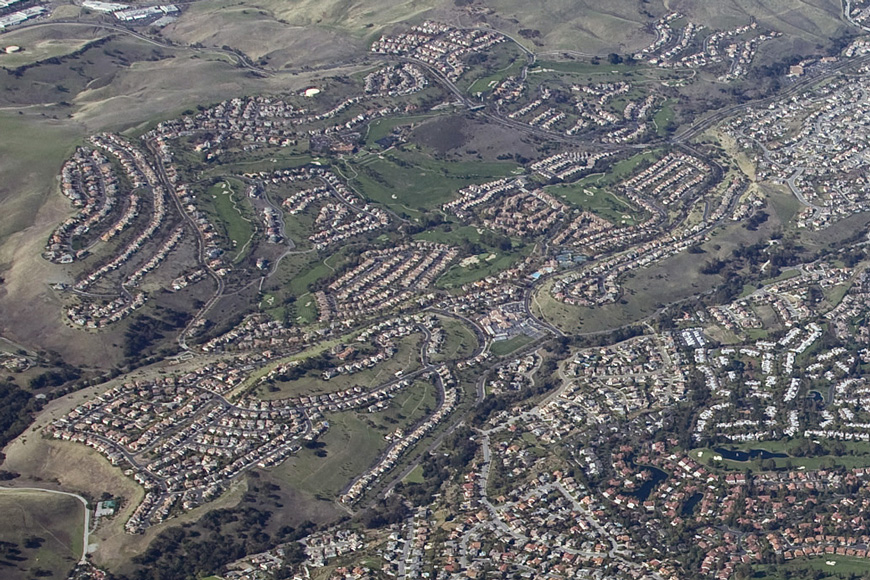
In January of every year, the GHAD has Stereographic images taken from high flying aircraft. In total, there are forty high resolution, overlapping stereographic images taken at this time. If necessary, these images can be used to trace vertical displacement of the lands of the District.
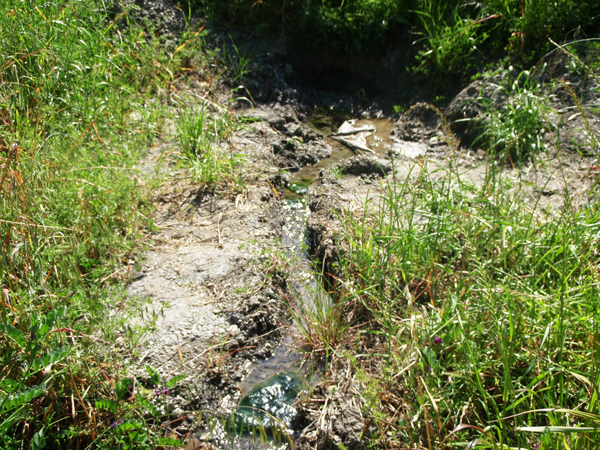
Naturally occurring springs are not uncommon in the District.
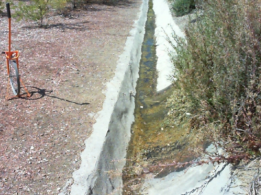
These springs eventually find their way to Vee or J ditches that were originally constructed around the District.